Our Services
Surveying
Waggoner understands the changing world and its demands on surveyors and engineers to keep up or get left behind. We also understand that while technology changes, the basic principles of surveying, measurement and mapping remain the same.
We use the latest surveying technology while adapting the application to the problem to get the best solution for our clients’ needs. This balance of innovation and foundational expertise allows us to deliver precise, efficient and purpose-driven results across a wide range of projects.

- Boundary, Property and ALTA/NSPS Surveys
- Elevation Certificates
- Topographical Surveys
- Construction Staking/Layout
- Route and Right-of-Way Acquisition Surveys
- GIS Database Surveys
- Cadastral Surveys
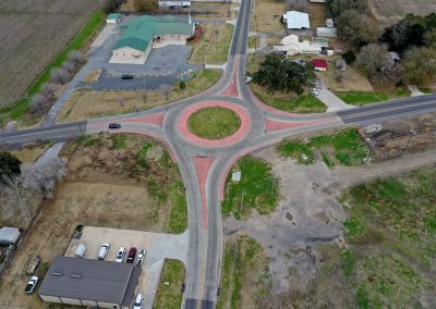
- Mapping for Zoning, Annexations and Subdivisions
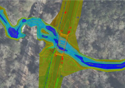
- Floodplain Mapping Hydrology Surveys
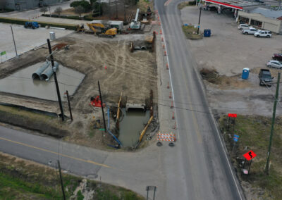
- Utility Improvement Surveys
- Construction As-Built Surveys
- Pipeline and Energy-Related Surveys
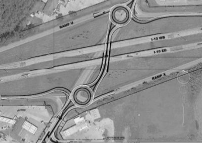
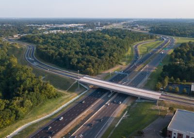
- Transportation Corridors, Interchanges and Road Widening Projects
- GPS Control Surveys (Horizontal and Vertical)
- Establishment of Ground Control for LiDAR and Aerial Mapping
- Volumetric, Hydrographic and Easement Surveys